A Short History of Stream Gages in Texas
Author: Melinda Luna PE
March 2024
After his expedition to the West, John Wesley Powell advocated for the inventory of flow of all streams in the region. This was to evaluate the potential for crops and irrigation in the West. On January 1, 1889, the first modern stream gage was established in Embudo, New Mexico. It was later that year in May of 1889, that the first gage in Texas Rio Grande River at El Paso was established.
The first person to take on the role of championing a stream gage system for Texas was Thomas Ulvan Taylor, a professor at the University of Texas. He also found time to work for USGS beginning on March 1, 1898. He had established the stream gage at Colorado River at Austin then located downstream of Congress Avenue bridge. T.U. Taylor would welcome citizens interested in stream gages a tour of the gage and talk on how the stream gage could supply information.
Clarence E. Ellsworth would move to Texas in 1918 and as District Engineer of the USGS. He lead the way in establishing stream gages across Texas. He would drive in his Model T to possible stream gage locations and establish the location himself. He continued in this position until April 1953 when he retired.
Large floods, such as the December 1913 flood and the September 1921 flood, highlighted the need of using stream gages to analyze flood flows.
In 1915, the first cooperative agreement was established between the Texas Board of Water Engineers and USGS. At that time, there were 18 stream gauges in operation, predominantly under the jurisdiction of the Texas Board of Water Engineers, with only 4 being operated by the USGS. Each of these early gages were sponsored by local stake holders such as US Army Corps of Engineers, River Authority, or another agency. Below is a list of gauges, along with links to their sponsors and the dates of their establishment, all of which occurred over a hundred years ago.
- Colorado River at Austin, 08158000, 03/01/1898, Lower Colorado River Authority
- Brazos River at Waco, TX, 08096500, 10/01/1898, U.S. Army Corps of Engineers
- Brazos River at Richmond, 08114000, 01/01/1903 , USGS National Groundwater and Streamflow Monitoring Program
- Sabine River at Logansport, La., 08022500, 07/01/1903, Sabine River Compact Administration
- Neches River near Rockland, 08033500, 07/01/1903, Lower Neches Valley Authority
- Trinity River at Dallas, 08057000, 10/01/1903, U.S. Army Corps of Engineers, City of Dallas, City of Ft. Worth,Trinity River Authority
- Elm Fk Trinity River near Carrollton, 08055500, 01/01/1907, U.S. Army Corps of Engineers
- Colorado River near Ballinger, 08126380, 06/01/1907, Colorado River Municipal Water District
- Nueces River near Three Rivers, 08210000, 07/07/1915, USGS National Groundwater and Streamflow Monitoring Program
- Frio River near Derby, 08205500, 08/01/1915, City of Corpus Christi
- Concho River at Paint Rock, 08136500, 10/01/1915, USGS National Groundwater and Streamflow Monitoring Program
- Concho River at San Angelo, 08136000, 10/01/1915, City of San Angelo
- San Saba River at Menard, 08144500, 10/01/1915, Lower Colorado River Authority
- San Saba River at San Saba, 08146000, 10/01/1915, Lower Colorado River Authority
- Colorado River near San Saba, 08147000, 10/01/1915, Lower Colorado River Authority
- N Llano River near Junction, 08148500, 10/01/1915, USGS National Groundwater and Streamflow Monitoring Program
- Llano River near Junction, 08150000, 10/01/1915, Lower Colorado River Authority
There is no compiled data on how or when the other gages followed. Bits and pieces can be compiled from publicly shared reports such as Water data for Texas.
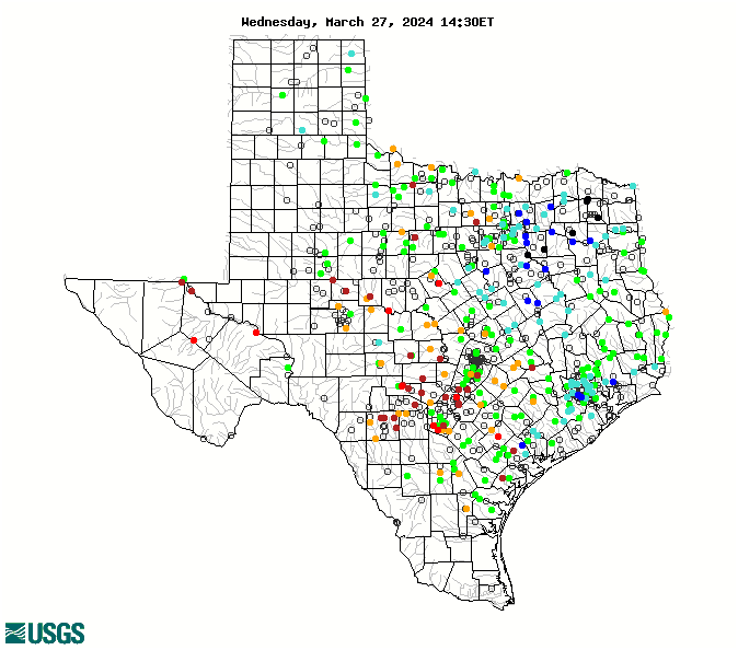
The stream gages in Texas now number 750. These gages play a vital part in flood/disaster operations, design of hydraulic structures, real time warnings, water supply planning, recreation forecasts, and many other functions.
1 USGS. “Map of Real-Time Streamflow Compared to Historical Streamflow for the Day of the Year (Texas).” USGS, https://waterwatch.usgs.gov/?m=real&r=tx. Accessed 2024.